
Click or right click / open link, to view map and photos full size

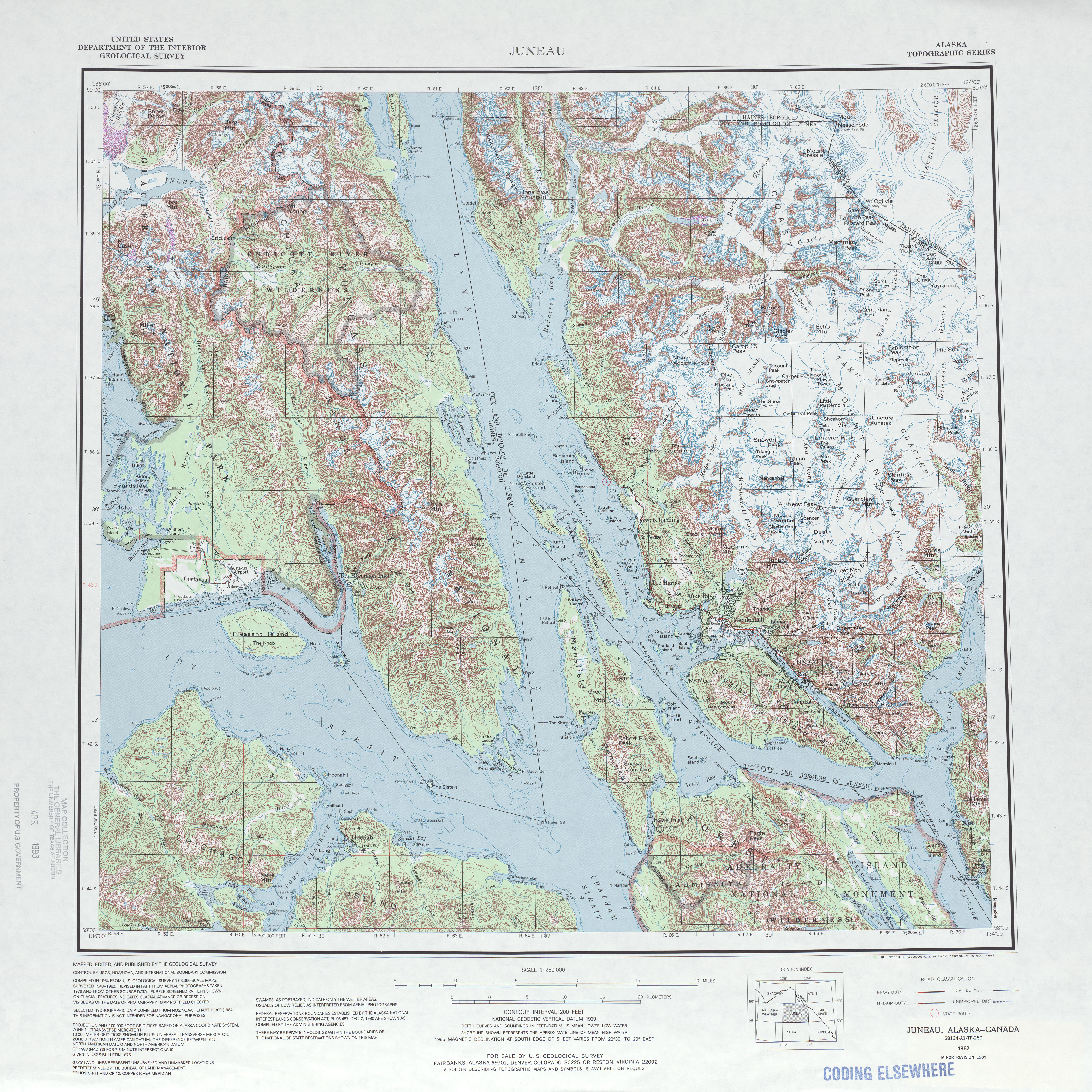
Catching the outgoing tide from Sandy Beach and passing by this tower left over from the Treadwell gold mine my first destination was Point Arden on the northeast corner of Admiralty Island where Stephens Passage and Taku Inlet meet.

Point Arden was craggy and rocky from pounding seas but just a few miles down the coast was a nice beach to make camp. In the morning I found this strange purplish shelf mushroom, still haven’t figured out what it is.

At first the weather was foggy and threatening but by the evening of the second day the clouds started to break up.

From the camp at Young Point it is an easy paddle around to Admiralty Cove a river estuary that is great fun to explore at high tide. Admiralty Cove Cabin has a 4 ½ mile trail that leads to Young Lake and has good fishing.

The skyline in this area is dominated by Eagle Peak the tallest mountain on Admiralty Island at 4650 feet. There is no trail to the top of this one and I bet it would be a tuff climb.

Continuing on along Young bay it was hot and sunny, glad I remembered to bring sun screen.

Just past Horse and Colt Islands was this view of Juneau, Auke Bay and the Coastal Mountain Range. Nice evening to be on the water!

Of course Admiralty Island is known for its brown bears like this one having a mid morning snack in (where else) Bear Creek.

After paddling north past Robert Barron Peak, Lone Mountain and the Barlow Islands the end of my journey or at least the turnaround point came into view the light house at Point Retreat.

The far northern end of Admiralty Island looking south, you can just see Eagle Peak in the distance.

The Tlingít call this island "Kootznoowoo," meaning "Fortress of the Bear." Indeed, Admiralty Island is home to the highest concentration of brown bears in the world and if ever so briefly it was a pleasure to share their home.